Places
to Paddle tm |
|
||
|
 Copyright 2000 Closewaters LLC - See Terms of Use |
||
Our Route Summary
|
|||
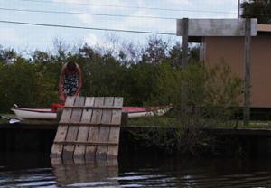
Entry and Exit
|
 |
||
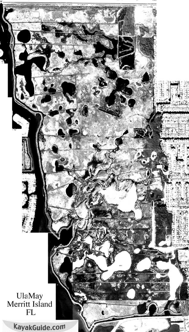
Click to Enlarge Enhanced Aerial Photo
|
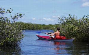
What We SawTake a compass to help navigate the myriad of marsh channels and lakes. A GPS is also helpful to track back to the launch point. Proceed to the left (west) from the launch along a dredged canal (see below) which quickly curves to the right (north). The bank on the left of this north-side canal is the hiking and biking trail along Sykes Creek boundary of the sanctuary. This canal eases access to the entire length of the sanctuary's numerous inner channels, lakes, and marshes to the east. Note on the enlarged aerial photo at left that there are also a number of canals the run east to west into this channel as well. You may find it useful to take along a printed copy of the enhanced aerial photo at left and trace your way as you paddle. You'll find it easier to find your favorite spots next time. |
||
| Where you paddle is up to you. The sanctuary itself
is large, bordered on the north by Route 528, the west by
Sykes Creek, and the east by the residential area of
Merritt Island along the Banana River.
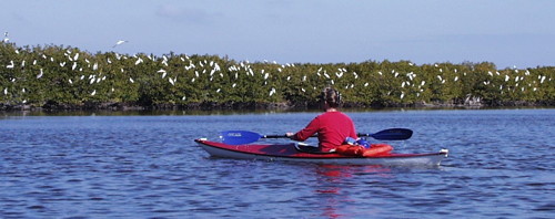
We paddled up to some of the larger lakes adjacent to the north-south canal and headed east into these lakes and marshes. We saw a number of birds even on our late summer paddle as well as several Tarpon. And on this weekend paddle, we ran into only one other paddler. |
 |
||
 |
During higher water, you won't need to stay in the
channels. Most of the interior marsh becomes accessible
to paddlers. Here is where you'll see most of the birds.
Binoculars are a good idea for bird watching here as the
birds are wary of even quiet paddlers.
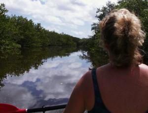
The interior has a number of shallow lakes dotted with grass or mangrove islands like those at left. Ulumay is a great wildlife paddle conveniently located within minutes of resort hotels and facilities. |
||